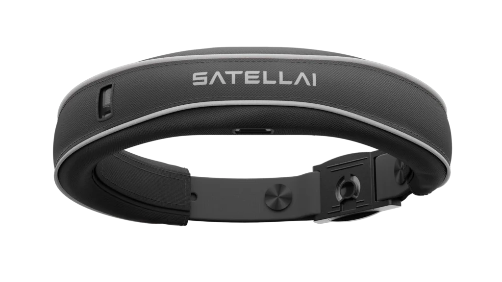
In today’s data-driven world, intelligence is power—and location intelligence, even more so. SatellAI review brings you face-to-face with a powerful AI-driven platform that taps into real-time satellite data to transform how businesses, governments, and organizations make decisions. With industries relying heavily on geospatial insights for climate analysis, supply chain optimization, agriculture monitoring, and disaster response, SatellAI emerges as a cutting-edge solution that delivers clarity from above.
Let’s dive deep into what SatellAI offers, how it works, and whether it’s worth the investment in 2025.

🔍 What Is SatellAI?
SatellAI is a next-generation geospatial intelligence platform that combines AI-powered analytics with real-time satellite data to deliver actionable insights across multiple industries. Unlike traditional satellite image providers, SatellAI focuses on AI interpretation, turning raw satellite images into meaningful trends, predictions, and alerts.
Its core advantage lies in its ability to process vast amounts of Earth observation data using machine learning and computer vision, allowing users to track environmental, infrastructural, and industrial patterns with unmatched precision.
🧠 Key Features of SatellAI
1. Real-Time Satellite Monitoring
SatellAI pulls real-time data from a network of public and private satellites. This means users get timely updates on changes occurring anywhere on the globe—whether it’s forest degradation, urban expansion, or crop health.
2. AI-Powered Analytics
Raw data is virtually useless without interpretation. SatellAI uses advanced neural networks to analyze satellite imagery, detecting patterns, forecasting events, and highlighting anomalies that a human analyst could miss.
3. Custom Dashboards
SatellAI provides interactive, customizable dashboards for different use cases. Users can visualize specific geographies, monitor assets, and receive automated alerts based on AI findings.
4. Sector-Specific Solutions
The platform isn’t one-size-fits-all. SatellAI tailors solutions for:
- Agriculture (crop yield predictions, soil moisture tracking)
- Insurance (natural disaster forecasting, property risk scoring)
- Urban Planning (land use monitoring, infrastructure tracking)
- Climate & Environment (deforestation alerts, carbon emission mapping)
- Defense & Security (border activity surveillance, maritime monitoring)
5. API and Integrations
For developers and enterprises, SatellAI offers robust APIs that allow seamless integration into existing BI tools, CRMs, or custom software environments.
🚀 How SatellAI Works
At its core, SatellAI follows a three-step process:
- Data Aggregation: It pulls high-resolution imagery from multiple satellite constellations (like Sentinel, Planet Labs, Maxar, etc.).
- AI Interpretation: Through deep learning algorithms, it scans and interprets this data to recognize objects, movements, and trends.
- Insight Delivery: Finally, these insights are delivered through dashboards, reports, or API calls—ready for use in decision-making processes.
This automated workflow removes the complexity of analyzing raw satellite data, putting strategic intelligence into the hands of non-experts and technical teams alike.

🎯 Who Is SatellAI For?
✅ Enterprises
Logistics companies can monitor ports, road congestion, or geopolitical risks affecting supply chains.
✅ Government Agencies
From disaster management to land use planning, governments can act faster and with higher confidence using reliable data.
✅ Farmers and Agribusiness
Monitor field conditions, forecast crop outputs, and even detect pest threats early using remote sensing insights.
✅ NGOs and Climate Activists
Keep track of environmental degradation, illegal logging, and carbon emission hot spots in real time.
💡 Benefits of Using SatellAI
- Increased Operational Awareness
Whether it’s monitoring infrastructure or keeping tabs on global shipping routes, SatellAI gives you eyes on the ground—from space. - Time-Saving Automation
Instead of manually interpreting thousands of images, users receive instant, AI-generated conclusions. - Risk Reduction
Early warnings about environmental threats or infrastructure risks allow for faster mitigation. - Cost Efficiency
SatellAI eliminates the need for frequent on-site inspections and costly aerial surveys. - Scalable Intelligence
From small farms to international conglomerates, the platform scales to fit your needs and budget.
SatellAI Pricing Plans
While SatellAI doesn’t publicly list all pricing tiers, it offers flexible plans depending on the number of:
- Tracked locations or assets
- API calls
- Image resolution and frequency
- Industry-specific modules
There’s usually a free trial or demo offered for enterprise users to test the platform’s capabilities before committing.
📈 SatellAI vs. Competitors
| Feature | SatellAI | Descartes Labs | Planet | Orbital Insight |
|---|---|---|---|---|
| AI-Powered Analytics | ✅ | ✅ | ❌ | ✅ |
| Real-Time Data | ✅ | ❌ | ✅ | ✅ |
| Custom Dashboards | ✅ | ❌ | ❌ | ✅ |
| Sector-Specific Solutions | ✅ | ✅ | ❌ | ✅ |
| Developer API | ✅ | ✅ | ✅ | ✅ |
While others focus primarily on imagery or raw data access, SatellAI stands out with its complete analytics layer and ready-to-use business insights.
🌐 User Experience and Support
The SatellAI platform is cloud-based, with a clean, intuitive interface. Beginners can navigate effortlessly, while advanced users benefit from in-depth configuration options. Support is available via:
- Live chat
- Developer documentation
- Personalized onboarding (for enterprise users)
Their team also frequently updates the platform with new AI models and expanded satellite integrations.
🧪 Real-World Use Case
Case Study: Drought Monitoring in Kenya
A government ministry partnered with SatellAI to monitor ongoing drought conditions across northern Kenya. Using historical satellite data and AI-based vegetation tracking, SatellAI helped predict areas at high risk of crop failure. As a result, emergency food supplies were dispatched three weeks earlier than previous years—saving thousands from food insecurity.

✅ Final Verdict: Is SatellAI Worth It?
Absolutely. If your organization depends on accurate geospatial intelligence, SatellAI is one of the most advanced platforms on the market in 2025. It seamlessly turns satellite data into strategic assets. With its AI-first approach, custom dashboards, and sector-specific insights, it’s ideal for any decision-maker looking to monitor and respond to the world in real time.
⭐ Overall Rating: 4.8 / 5.0
Pros:
- Real-time insights
- Powerful AI models
- Easy-to-use interface
- Sector-specific solutions
Cons:
- May be overkill for small, local-only businesses
- Enterprise pricing not fully transparent
Get Started with SatellAI
👉 Visit SatellAI and request a free demo to unlock a smarter, space-powered way of decision-making or the Button below.

